Written by Danika Tager
As the days cool down and the rainy weather starts to ease up (at least we hope it will this year!), it is time to dust off the camping gear and start planning some overnight adventures in our beautiful backyard!
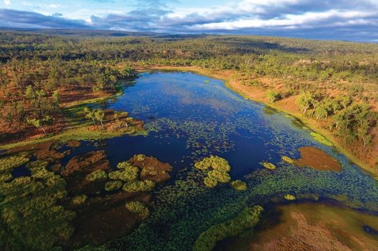
In the few months that it is not raining, Tully Falls National Park boasts some of the loveliest walks in the region. Located in the southwest corner of the Tablelands, the park is known for its pristine high-altitude rainforest, spectacular gorges, and plunging waterfalls. It is also home to the Misty Mountains wilderness tracks, a network of 130km of hiking and biking trails which link Wooroonooran, Tully Gorge, and Tully Falls National Parks. These trails, which range from easy several kilometre loops to challenging multi-day treks, are an adventurer’s paradise, and one of the best ways to experience our region’s natural wonders.
Walter’s waterhole on Koolmoon Creek is nestled amongst the Western Misty Mountain tracks in Tully Falls National Park and offers a great, moderately easy overnight walk. The first thing to know about camping in this area is that it should only be attempted in the dry season. It’s not that you can’t do it in the wet – and if you like wading through waist deep mud in the rain while being sucked dry by leeches you are welcome to try – but if you are not so keen on being eaten alive by slimy bloodsucking worms, wait until the sun has been out for at least a few weeks before you attempt it. This is true North Queensland leech country!
The waterhole can be accessed from the Djilgarrin and Walter’s Waterhole trailheads, both of which are located on Tully falls Road about 20 minutes out of Ravenshoe. The meandering, mostly sealed road has a number of other walks including the spectacular Tully Falls Lookout, and is worth taking some time to explore.
For an overnight hike, start at the Walter’s Waterhole trailhead which is clearly marked on the left-hand side of the road. The trail goes for 3.5km with moderate altitude gain before it meets the Rhyolite Pinnacle trail. For the more adventurous, there’s an optional steep 1km detour each way to check out the spectacular views from the pinnacle, but that’s a story for another day. Turn right at the junction and continue another 3.9km towards the waterhole. In total it is 7.4km from trailhead to waterhole.
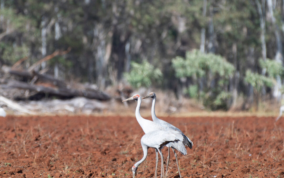
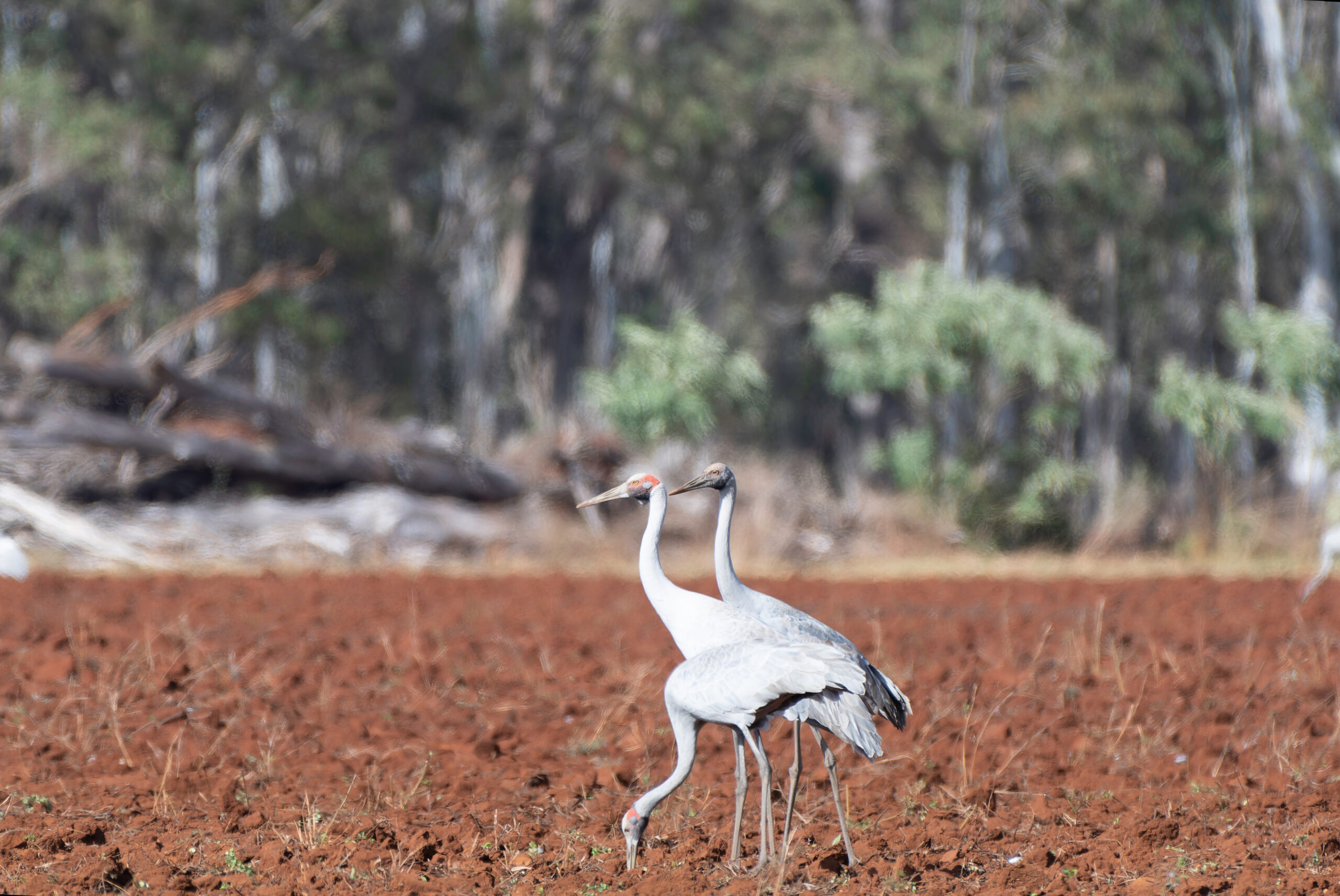
This is a lovely little trail through dense rainforest with regular creek crossings for a quick dip and water bottle top up. While mostly well-marked and maintained, be prepared for dense wait-a-while in places and a few leeches even in the dry season. Keep an eye out for cassowaries and other wildlife abundant in the area.
Coming from the Walter’s Waterhole trailhead, you may expect the trail to lead to Walter’s Waterhole – but be warned, this is not the case! In fact, it would not be hard to miss the waterhole altogether. To find it, wander downstream about 100 metres from the second large creek crossing and peek over the rocky embankment – it is well worth the extra effort! The crossing is also a lovely, picturesque spot to have lunch or take a well-earned break. Fill your bottles here as this is the last accessible water.
From here it’s only one kilometre to the campsite. Follow the track up the far side of the creek until it joins an old logging trail. This section of track is not very clearly marked so make sure you finish the walk with plenty of daylight. Turn right on the logging trail for a short walk to the campsite which is a small well marked clearing next to the track. Although perfectly adequate, it isn’t the world’s most exciting campsite so don’t plan to spend too much time there.
The walk out is an easy 3.4 km to the Djilgarrin trailhead, then another 1.5km back along Tully Falls Road to the Walter’s Waterhole trailhead. This leaves plenty of time for a morning dip at the waterhole before breaking camp. The campsite is also linked to the Cochable Creek camping area (about 12km on the Koolmoon track) and the Cannabullen and Cardwell Range trails, which are all part of the Misty Mountains Track network.
If you prefer to visit the waterhole as a daytrip, this can be done with an easy 9km return trip from the Djilgarrin Trailhead. From the trailhead follow the old logging track 3.4km to the Walters Waterhole camping area. Continue along the left fork of the track for about 800m, looking out for the access trail on the left marked by pink tape. There are no creek crossings until you reach the waterhole so make sure you bring plenty of water!
There is no phone signal along this trail so it’s advisable to have a check in person and bring a personal locator beacon and first aid kit. As always, remember to leave only footprints and take only photographs so that future generations can also enjoy this wonderful place that we are lucky enough to live in.
Walter’s Waterhole with kids
Is this a good hike to do with kids? If they can manage the distance comfortably and don’t mind some leeches and mud, then definitely yes! The pros are: a well-marked trail, not too many hills, lots of cute little creeks to stop at along the way, and a shortish walk out on day two. The cons are: the distance in can be challenging for some little legs, there is quite a bit of wait-a-while on the track and of course the leeches. But if they can overcome these challenges, the sense of achievement and pride they will leave with will be worth every step!
Tips for hiking with kids
Leave yourself plenty of time and take lots of short breaks
Carry some surprise sweet treats for the afternoon energy crash
Let them be in charge of finding the way (but make sure you know the route first!)
Keep their bags light – they already need to take twice as many steps, and most bags aren’t designed for small people
The quality of your bug repellent can make or break a trip
Remember it’s all about having fun!